
An excavator, a tanker and an ambulance need different alerts.
Every deployment starts from the problems your sector actually has: where money leaks, what puts people at risk, and what your managers need to see. Here is where we start in nine industries.
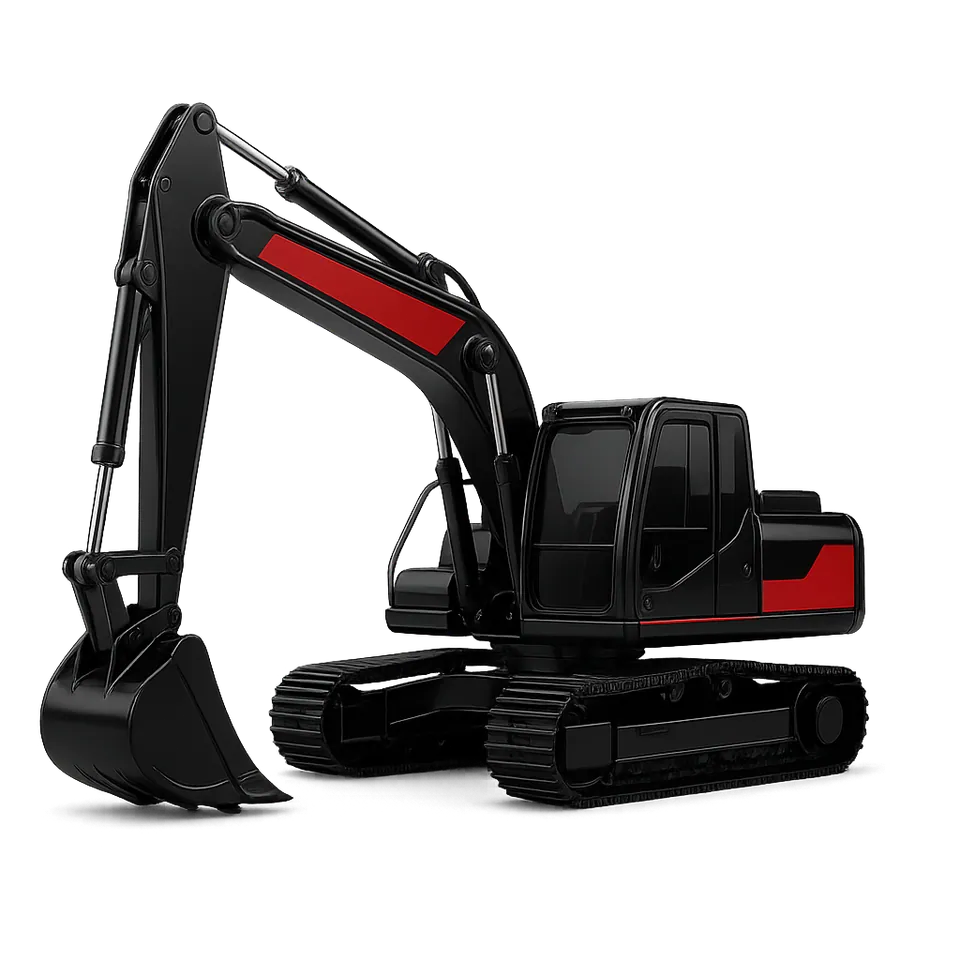
Construction and mining
Machines earn by the engine hour, on sites hours from the office. Most losses happen where nobody is watching: idling, diesel leaving the tank, and work that never gets booked.
Construction and industry clients include Midroc. Daily reports run in Advanced tracking, engine-hour servicing in Fleet ERP. About the platforms
Where the hours and liters go
- Idling that looks like work
- Engine data splits each machine's day into working, idle and off, so an excavator left running through lunch shows up as idle.
- Diesel leaving tanks and bowsers
- Calibrated fuel sensors log every fill and every drop with time and place, including drops while the site is closed.
- Machines used after hours
- Shift rules and site geofences alert you when a machine starts out of hours or leaves site. Operator ID shows who started it.
- Servicing by guesswork
- Engine hours from the CAN bus set the service schedule, and fault codes arrive before a breakdown stops the site.
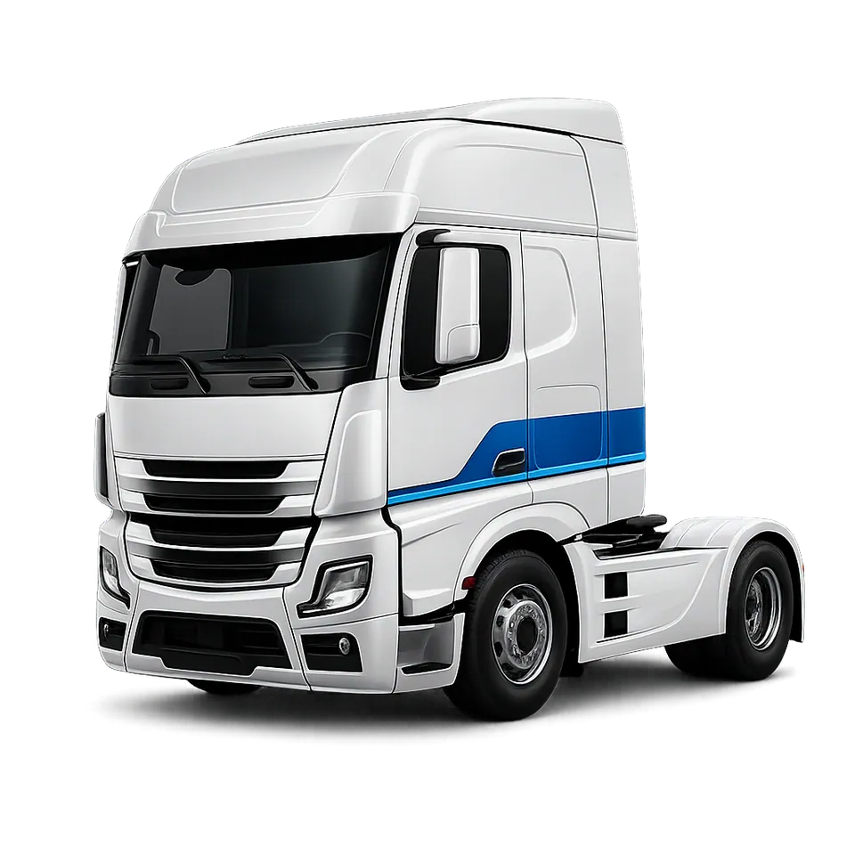
Transport and logistics
A truck can spend days between Addis Ababa and the port of Djibouti, across long stretches of Afar with thin mobile coverage. You need to know where it is, how it's driven and what happens at every stop.
With the implementation of Translink's telematics technology, the transportation division has achieved significant improvements in service quality and administrative efficiency.
 Ethiopian Airlines
Four risks on the road to the port
- Blind stretches
- Trackers keep recording without signal and upload the full trip when coverage returns, so gaps on the map become complete routes.
- Tired drivers
- AI dashcams detect fatigue, distraction and phone use and warn the driver in the cab. Driving-time rules flag shifts that run too long.
- Cargo at stops
- Electronic seals and door sensors report every opening with place and time, and an unplanned stop raises an alert while the truck is still there.
- Fuel on the road
- Tank sensors separate real consumption from siphoning at overnight stops, and log every refuel with liters, time and place.
Addis Ababa to Djibouti, as the platform sees it.
One example trip down the corridor. Each stop below is an event the platform records or flags while the truck is still on the road.
- Addis Ababa Leaves the depot. The driver is identified by card.
- Adama Harsh braking. The dashcam saves the clip.
- Awash Driving-time limit reached. Rest is due.
- Mille Alert Fuel level dropped while parked.
- Galafi Enters the border crossing geofence.
- Djibouti Container seal opened at the port.
Example events. Alerts and rules are set for each client. How freight security works
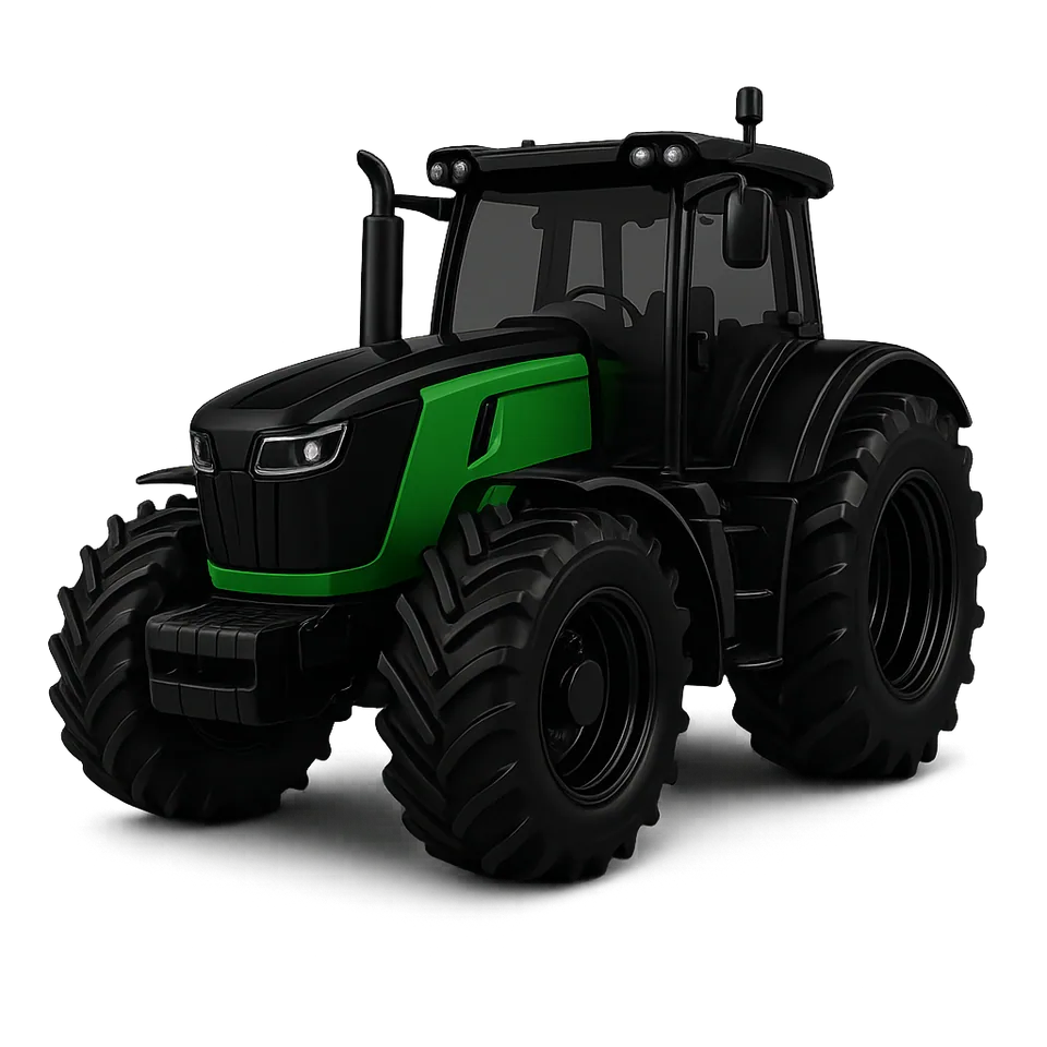
Agriculture
Tractors and harvesters work short seasons on fields far from the farm office. Knowing which field was worked, how well and on how much fuel lets you pay contractors fairly and plan the next season.
What we fit
Field work, crops and yield come together in the Agricultural automation platform. About the platforms
Where field work goes unrecorded
- Fields reported as done that were only partly worked, or worked twice.
- Hours and hectares written on paper at the end of a long day.
- Bulk diesel topped up from drums with no record.
- Machinery serviced late, in the weeks when a breakdown costs most.
| Unit | Status | Distance |
|---|---|---|
| ET 3-000122 | Available | 2.1 km |
| ET 3-000121 | Available | 4.6 km |
| ET 3-000123 | On a call | 3.0 km |
| ET 3-000124 | At hospital | 6.3 km |
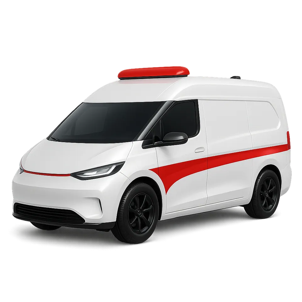
Emergency and healthcare
When a call comes in, the first question is which unit is closest and free. Afterwards, it's how fast you got there and how safely you drove.
What we fit
Humanitarian and health fleets on Translink include Médecins Sans Frontières and Catholic Relief Services.
Where the minutes are lost
- Finding a free unit takes radio calls
- Live positions and unit status on one map show the closest available ambulance the moment a call comes in.
- Response times nobody can prove
- Each trip is time-stamped from departure to scene to hospital, so response times are reported, not estimated.
- Speed without recklessness
- Speed bands set for emergency driving, alerts for harsh braking and cornering, and dashcam footage of every event.
- Outreach teams far from base
- Mobile clinics carry an SOS button and keep logging through dead zones. Inside hospitals, RFID and BLE tags locate equipment.
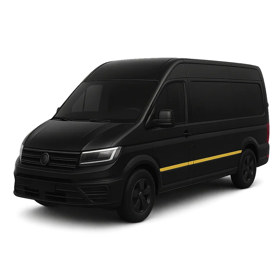
Delivery and distribution
Beverage trucks, vans and motorbikes make many drops a day, across the city and out to the regions. Customers want to know when you'll arrive. You want proof of delivery, and riders who get home safe.
What we fit
Orders, route planning, dispatch and proof of delivery run in the Logistics management platform. About the platforms
Where deliveries go wrong
- “Delivered,” with no proof
- The driver app records each drop with its status and proof of delivery, so a dispute ends with a record, not an argument.
- Routes run on habit
- Planned routes compared with actual ones show detours, long stops and customers visited out of order.
- Riders at risk
- Motorbike trackers flag speeding and harsh riding, and an SOS button sends the rider's location to dispatch.
- Fuel that doesn't match the distance
- Fuel per route on trucks and vans shows when consumption and kilometers stop adding up.
Translink has consistently delivered highly reliable, user-friendly and customizable tracking solutions, enabling us to optimize fleet performance, fuel consumption and driver safety through advanced analytics and video telematics.
 Unilever Ethiopia
Distribution fleets on Translink include Heineken, PepsiCo, Habesha Breweries, BGI Ethiopia and Unilever Ethiopia.
10,000
Motorbikes at city scale
About this many motorbikes across Addis Ababa run on the GPS platform we delivered for the city's Traffic Management Authority, with no service interruptions.
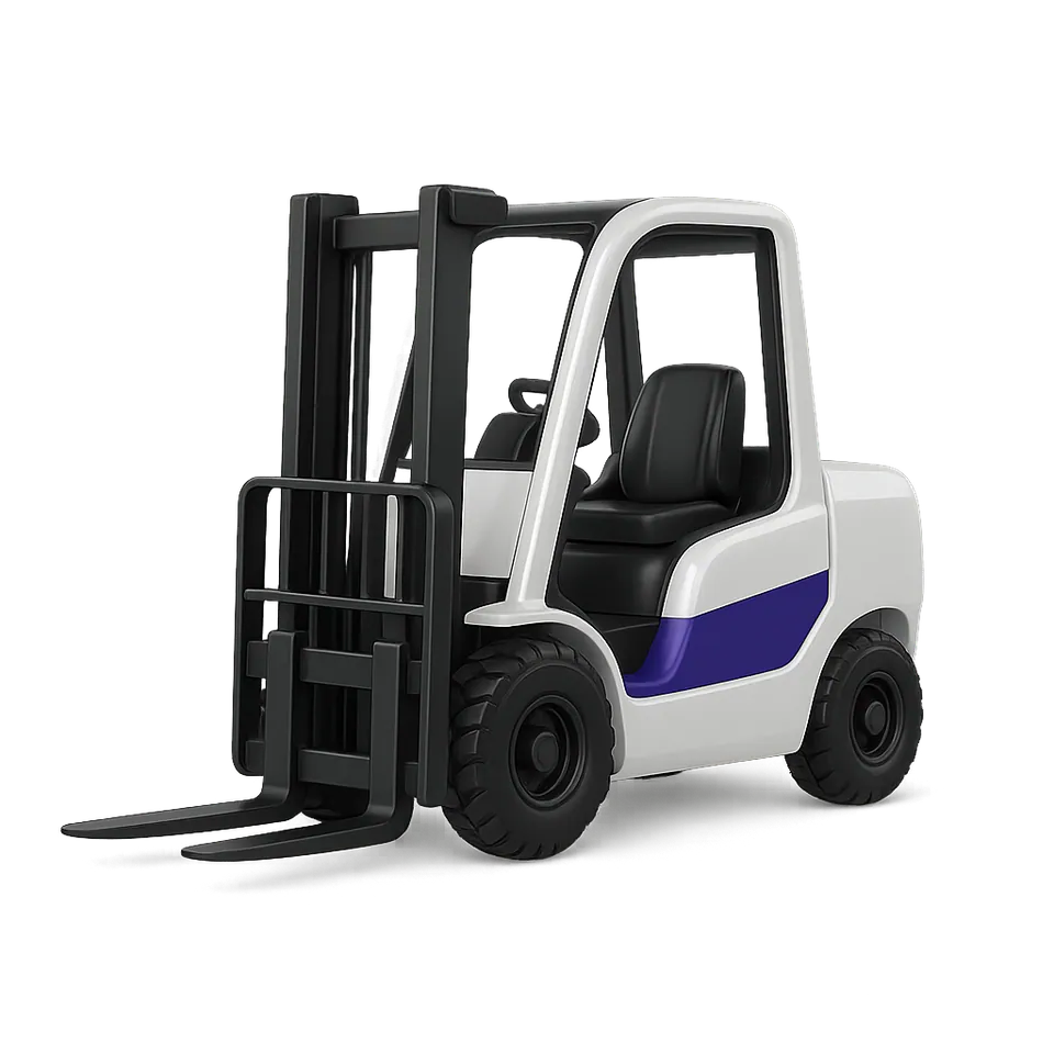
Manufacturing
On the plant floor the vehicles are forklifts, and GPS can't see indoors. The questions stay the same: how much they're used, who drives them and what they hit.
What we fit
Maintenance, parts and cost per truck run in Fleet ERP. About the platforms
What the plant can't see today
- New forklifts while others sit idle
- Hours in use per truck and per shift show real utilization before you add to the fleet.
- Anyone can drive
- Operator cards start a forklift only for trained, authorized operators, and tie every hour to a name.
- Damage nobody reports
- Impact sensors record knocks against racking, doors and stock with time, place and operator.
- Equipment you can't find
- RFID and BLE tags locate pallets, cages and tools across the warehouse and yard.
Banks and insurance
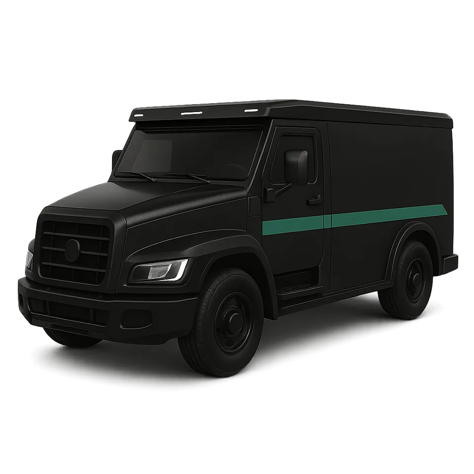
Banks need cash vans that can't be diverted and financed vehicles that stay in view. Insurers need to know how a vehicle is really driven before they price the policy.
Banking clients include the Development Bank of Ethiopia. Driver scores and premiums come together in the UBI management platform. About the platforms
Cash in transit and asset finance
- Approved routes, with an alert the moment a van deviates or stops where it shouldn't.
- A panic button that sends a silent SOS and the van's location to your control room.
- Door and cash compartment sensors that report every opening, and live video from the cab.
- Remote immobilization if a vehicle is taken, and collateral tracking for the vehicles and machinery you finance.
Usage-based insurance
- Driver scores built from speeding, harsh braking and cornering, night driving and distance.
- Pay-as-you-drive and pay-how-you-drive policies priced on real behavior.
- Crash data and dashcam footage, so claims are settled on evidence.
- Risk reports on fleet customers at renewal.
Utilities and energy
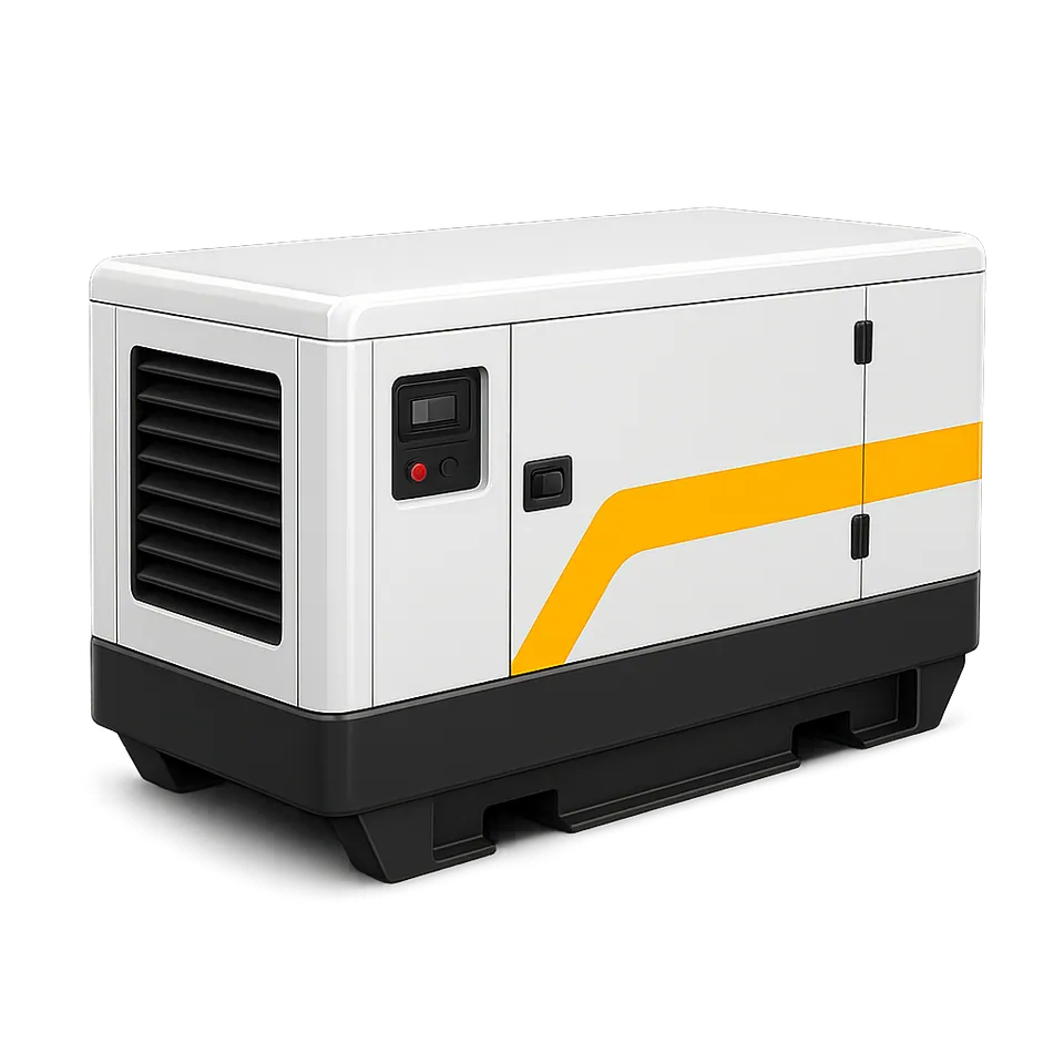
Generators at telecom towers, pumping stations and off-grid sites run with nobody there. Fuel deliveries and run hours are hard to verify from an office in the city.
What we fit
Energy and telecom clients include TAF Energies and Safaricom.
Why remote sites are hard to run
- Fuel delivered on paper only
- A tank sensor on each generator confirms how many liters arrived with every refuel, and catches drains between visits.
- Run hours you can't check
- Run time, starts and stops are recorded, so servicing follows real hours and contractors are paid for real ones.
- Trips just to check status
- Alerts for low fuel, stopped generators and faults mean crews drive out when there is a reason to.
- Field crews spread thin
- Tracking on service vehicles shows which crew is nearest to a fault, and when they arrived.

ET 3-000125
Ready to bill
Return report, example
- Rental period
- 3 days
- Distance driven
- 612 km
- Fuel out, fuel back
- Full, 72%
- Time outside the agreed area
- None
- Speeding events
- 2
Rental and tour
Every rental leaves with a different driver. Distance, fuel, where the car went and how it was driven should all be on record when it comes back.
What we fit
Where rentals go wrong
- Mileage disputes at billing
- GPS distance for each rental gives both sides a record they can check, for per-kilometer billing or mileage limits.
- Cars taken where they shouldn't go
- Geofences flag a car leaving the agreed area, and speed and harsh-driving alerts show how it was driven.
- Cars that don't come back
- Live location and remote immobilization help you recover a vehicle that misses its return.
- Tour vehicles on long routes
- On the northern historic route or the Rift Valley lakes, operators see every vehicle, drivers carry an SOS button, and each trip keeps a driving record.
Tell us what you operate and where it travels.
We'll recommend the right hardware, explain what each sensor will tell you, and walk you through the platform live. No obligation, and a clear quote at the end.
- Sales
- +251 944 334 344
- Customer success and support
- +251 944 334 343
- hello@translink.et